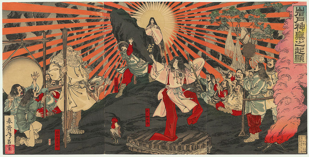
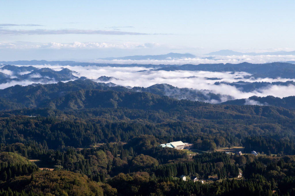
There are many spots where you can see a sea of clouds in Japan. In this article, we will look at the mechanism of sea of clouds and when they are most likely to occur.
What is unkai (sea of clouds)?
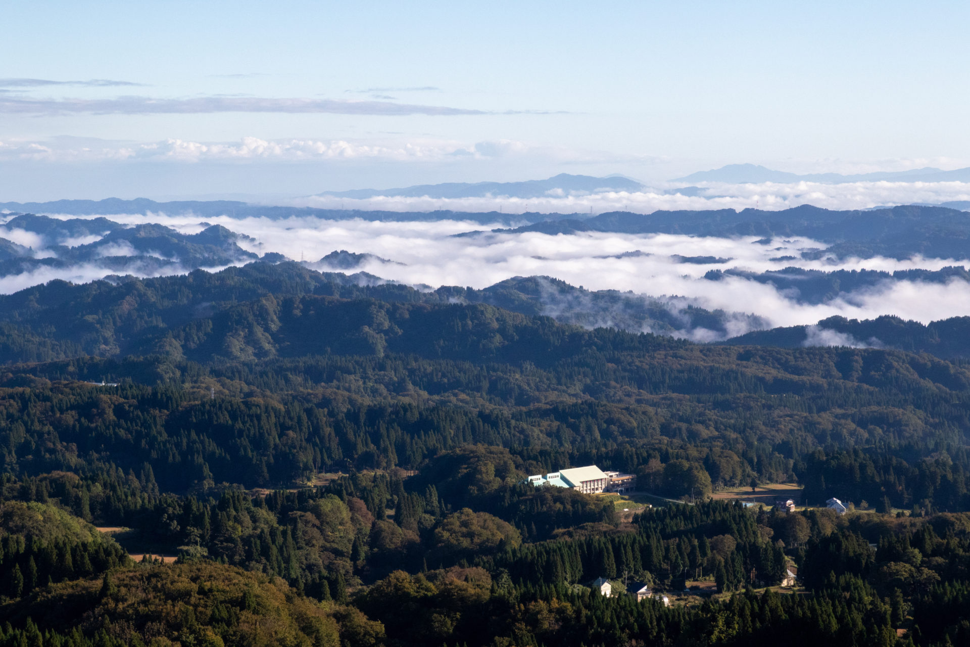
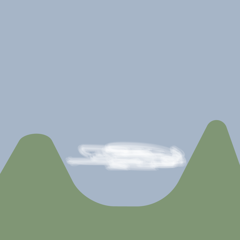
A sea of clouds is a cloud that is relatively uniform in height when viewed from above and can be likened to an ocean in appearance. a sea of clouds is called Unkai (雲海 : 雲 = clouds / 海 = Sea) in Japanese.
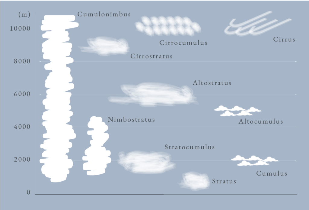
The "International Cloud Atlas" published by the World Meteorological Organization classifies clouds into ten types, and a sea of clouds visible from an altitude of about a mountain becomes a "stratus" or "stratocumulus".
Another characteristic of Unkai is that they often occur in basins. In particular, 75% of Japan is mountainous and there are many mountainous areas. So there are many spots where you can see the sea of clouds.
How do clouds form?
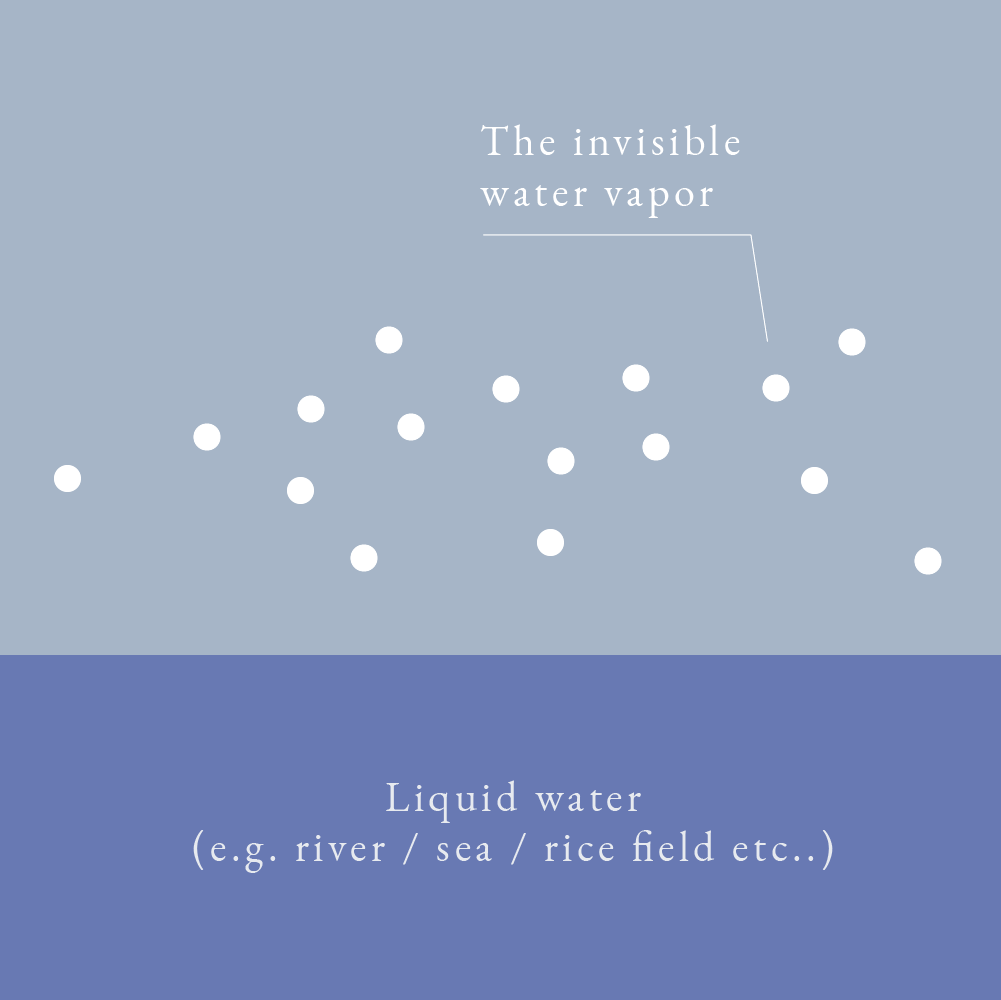
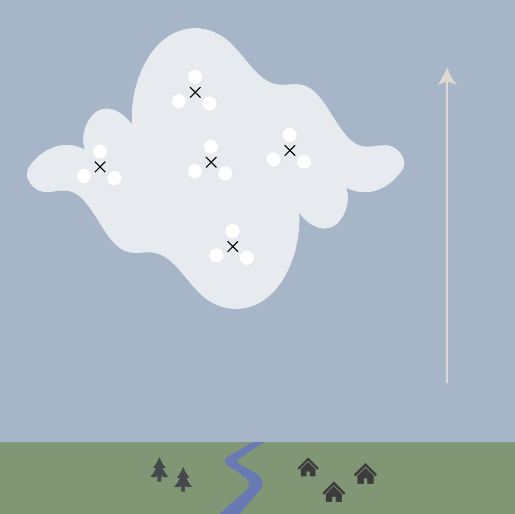
Clouds are formed when invisible water vapor turns into liquid water droplets.These water droplets are created when tiny particles in the air and invisible water vapor stick together. Let's take a closer look.
When water in the ocean or on the ground is heated by the sun, the water evaporates to form invisible water vapor. The invisible water vapor mixes with tiny particles such as dusts in the air.
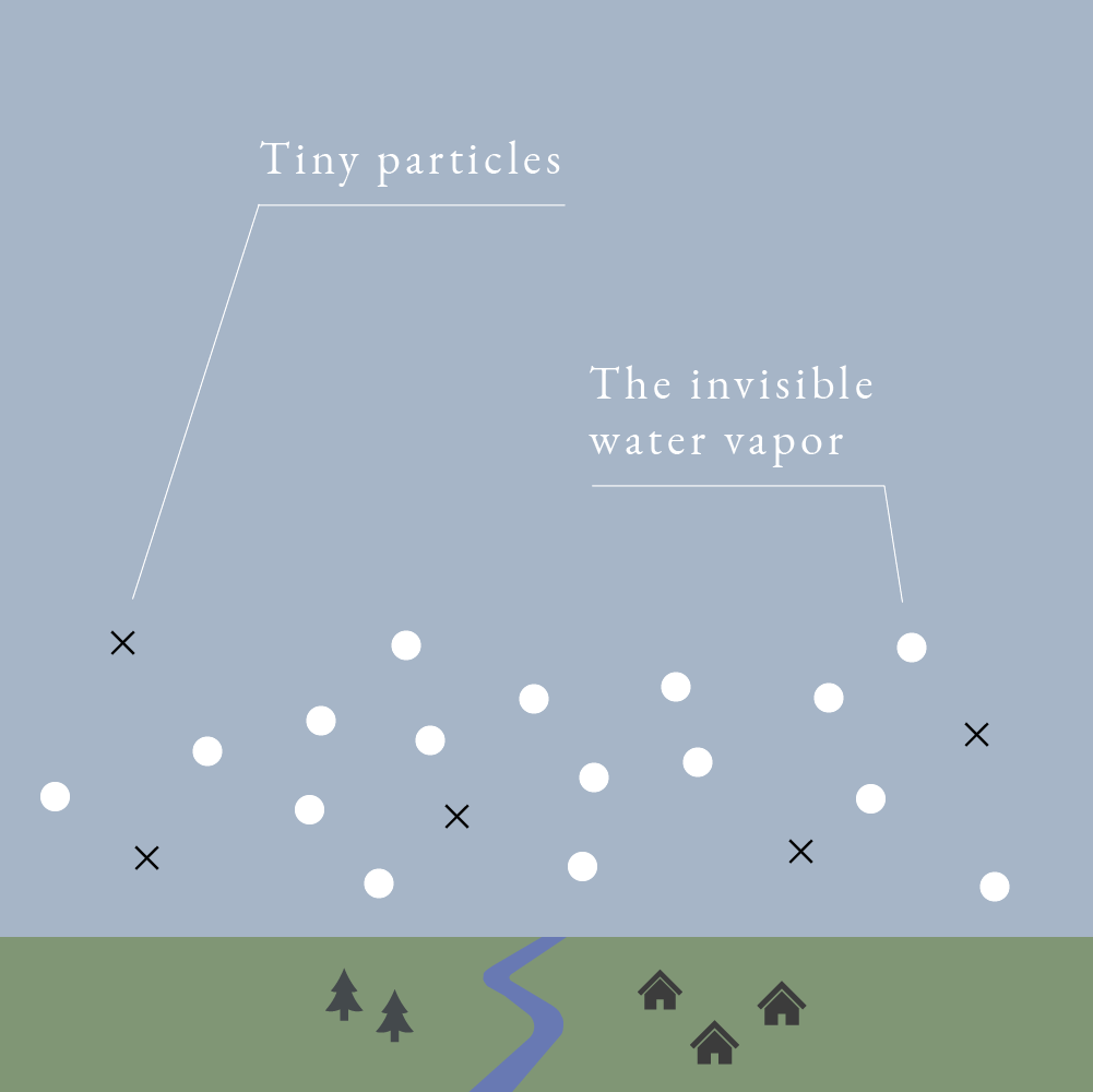
The water vapor mixed with dust is carried to the sky with the dust by the updraft of air.
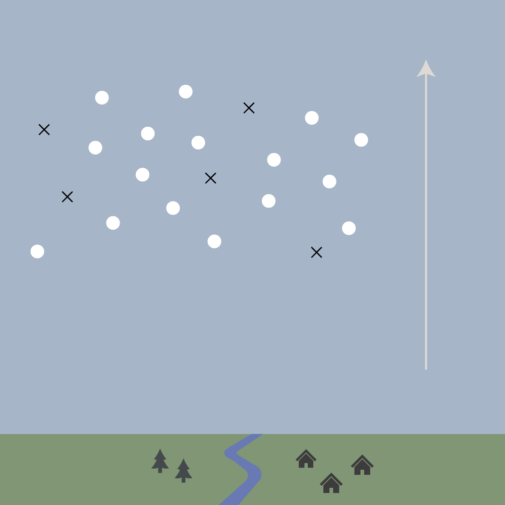
When the air cools in the sky, the water vapor sticks to the dust and forms water and ice cubes. This collection of many small water and ice particles is what clouds are made of.
How a sea of clouds is formed
A sea of clouds is formed in the following three steps.
Step 1 : Radiative cooling
The first step in the formation of cloud seas is the phenomenon of radiative cooling. Heat is constantly being emitted from the ground into space (earth radiation). he air is warmed by the heat from the sun during the daytime. But since there is no heat coming from the sun at night, the heat energy is less than during the day and the temperature drops.
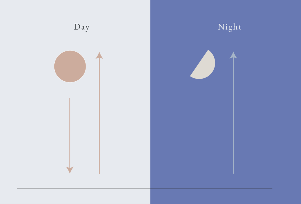
When the sky is cloudy at night, the clouds absorb the heat released and bounce it back again, so the temperature does not get much cooler.
Step 2 : Water vapor is cooled by radiative cooling
This radiative cooling cools the air that contains water vapor. The water vapor sticks to the dust and forms water and ice particles.
Step 3 : Cold water vapor is stored
If there is no wind or light wind at this time, the cold air will accumulate in the mountains and basins. This is how the sea of clouds is formed.
When does the sea of clouds occur?
So when is the best time for a sea of clouds to form?
Season
Mainly spring and autumn.
It is said that cloud seas tend to occur in spring and autumn in Japan because of the radiation cooling.
Time of day
pre-dawn to early morning.
When the sun rises and warms mountainous areas and basins, the sea of clouds disappears.
Weather
There are a few conditions regarding the weather.
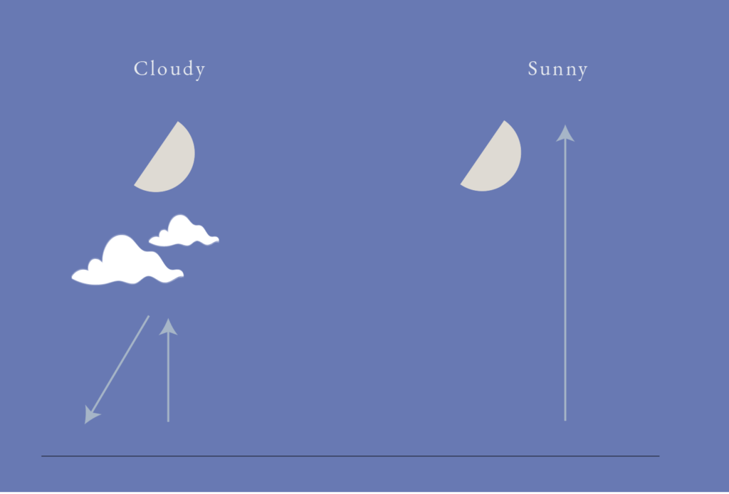
Clear skies at night
If there is no cloud cover at night, radiative cooling occurs and temperatures tend to drop.
High humidity
As explained above, clouds form when water vapor cools, so the more humid it is after a rain, the more clouds will form.
Windless conditions
there is no wind, clouds tend to accumulate.
Location:
Mountainous areas and basins.
As a terrain where the generated fog tends to accumulate, cloud seas are more common in inland mountainous areas and basins.The rate of cloud seas also increases in areas where moist air easily enters from rivers, oceans, lakes, etc. and contains a lot of water vapor.